Dakota Ridge is an unincorporated community and a census-designated place (CDP) located in and governed by Jefferson County, Colorado, United States. The CDP is a part of the Denver–Aurora–Lakewood, CO Metropolitan Statistical Area. The population of the Dakota Ridge CDP was 33,892 at the United States Census 2020. In 1988, voters turned down a proposal to incorporate Dakota Ridge. The community lies in ZIP codes 80127 and 80465.
Geography
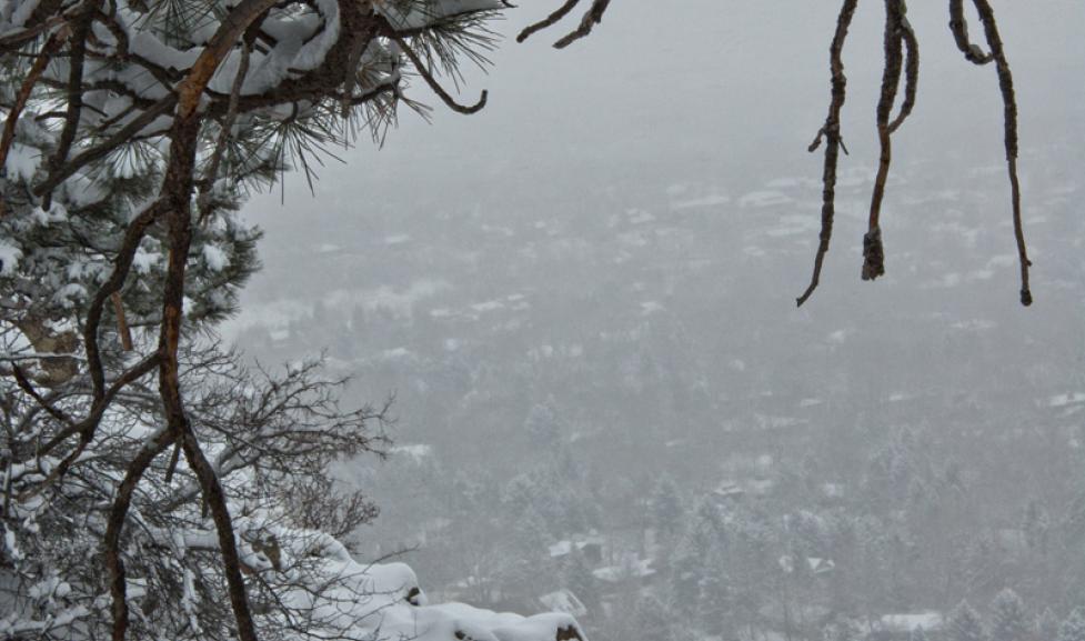
Dakota Ridge is bordered to the east by Denver, to the north by Lakewood, and to the south by unincorporated Ken Caryl. It is bordered to the west by the Dakota Hogback, a sharp hogback ridge that to the north near Morrison is also known as Dinosaur Ridge.
Colorado State Highway 470, part of the beltway around the Denver metropolitan area, runs through the western part of the community, leading north to Golden and southeast to Highlands Ranch. Downtown Denver is 17 miles (27 km) to the northeast.
The Dakota Ridge CDP has an area of 6,199 acres (25.085 km2), including 191 acres (0.774 km2) of water.
Demographics
The United States Census Bureau initially defined the Dakota Ridge CDP for the United States Census 2010.
Education
Dakota Ridge is served by the Jefferson County Public Schools.
See also
- Outline of Colorado
- Index of Colorado-related articles
- State of Colorado
- Colorado cities and towns
- Colorado census designated places
- Colorado counties
- Jefferson County, Colorado
- Colorado metropolitan areas
- Front Range Urban Corridor
- North Central Colorado Urban Area
- Denver-Aurora-Boulder, CO Combined Statistical Area
- Denver-Aurora-Broomfield, CO Metropolitan Statistical Area
- Colorado cities and towns
References
External links
- Jefferson County website
- Jeffco Public Schools
- Dakota Ridge High School